Jharkhand News : The district administration has released the water-level status of the Subarnarekha and Kharkai rivers at 6 am on Tuesday. Both rivers, which flow through East Singhbhum and Seraikela-Kharsawan districts, are witnessing a rise in water levels.
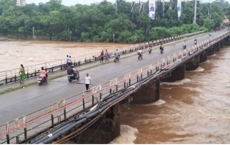
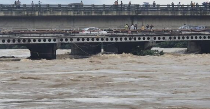
According to the Flood Cell report, the Kharkai River is flowing significantly above the danger mark, while the Subarnarekha River has also moved close to its danger level.
As per the daily report issued by the Flood Cell, Jamshedpur, the Kharkai River water level at the Adityapur Bridge site was recorded at 131.070 metres. The danger mark at the location is 129.00 metres, putting the river 2.07 metres above the danger level. The report indicates that the water level continues to rise.
The area also recorded 27.02 mm of rainfall during the period.
Subarnarekha Nears Danger Level
At the Mango Bridge site, the Subarnarekha River water level was recorded at 121.340 metres. The danger mark there is 121.50 metres, meaning the river is just 0.160 metres below the danger level. Its water level is also rising.
The area recorded 10 mm of rainfall until 6 am.

Residents Advised to Remain Alert
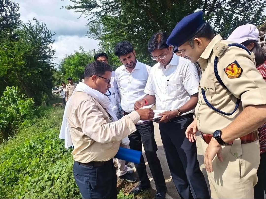
In view of the rising water levels of both rivers, the administration has advised people living along riverbanks and in low-lying areas to remain particularly alert.
Residents have been advised to avoid going near the rivers and keep track of changes in water levels. The administration and Flood Cell are continuously monitoring the situation.
Data Received from CWC Gauge Station
According to the report, water-level data for the Subarnarekha at Mango and the Kharkai at Adityapur were obtained from the CWC NC Gauge Station in Jamshedpur.
The Flood Cell prepared the daily report based on information received from the concerned executive engineers. Administrative preparations are also underway to take necessary measures in affected areas if the water level rises further.