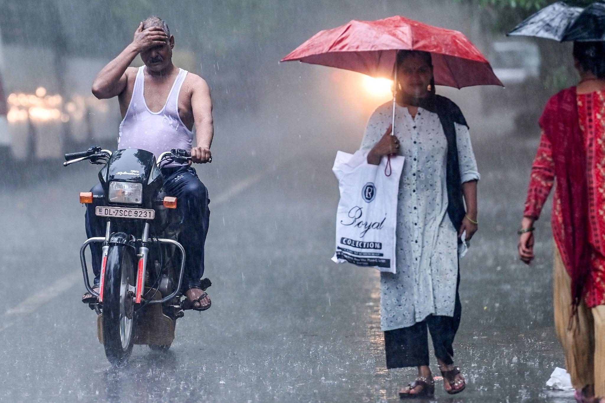
India News : Weather conditions across India are set to change once again, with the India Meteorological Department (IMD) issuing alerts for rain, thunderstorms, lightning and strong winds in several parts of the country over the coming days. While eastern, central and southern India are likely to witness active weather conditions, temperatures in north India are expected to rise further.
Rain and thunderstorms in several regions
According to IMD, light rain accompanied by thunder and lightning is likely over the Andaman and Nicobar Islands on February 24 and 25. During the same period, parts of central India are expected to see unstable weather.
On February 24, isolated places in Madhya Pradesh, Vidarbha and Chhattisgarh may receive rainfall along with gusty winds reaching speeds of 30–40 kmph. Similar weather activity is also expected in Odisha.
Several parts of West Bengal and Jharkhand may witness cloudy skies with light rain or drizzle, conditions that have already been reported in some areas.
States such as Sikkim, Assam, Meghalaya and Telangana are also likely to experience thunderstorms with rain. Additionally, thunderstorms and lightning may occur in parts of Madhya Pradesh, Vidarbha and Chhattisgarh on February 24 and 25.
Strong winds over sea, fishermen alerted
The IMD has warned that over south and central Bay of Bengal, wind speeds may reach 40–50 kmph, with gusts touching 60 kmph. Fishermen have been advised to check the latest weather updates before venturing into the sea.
Snowfall likely in hilly states
Weather activity is expected to increase once again in the hilly regions of north India due to the impact of a western disturbance.
Between February 24 and 28, light rain and snowfall in higher reaches are likely in Himachal Pradesh and Uttarakhand. Some parts of Jammu and Kashmir may also receive light rain. This could lead to a drop in temperatures across hill states.
Rising temperatures in north India
In contrast, Delhi and the plains of north India continue to experience above-normal temperatures towards the end of February. Maximum temperatures have been hovering around 30°C, and the IMD expects the mercury to cross the 30-degree mark in the coming days.
While daytime heat is increasing, light morning fog persists in some areas, affecting visibility. Air quality remains a concern as weak winds and stable atmospheric conditions have kept pollution levels in the poor category at times.

Fog alert for Punjab, traffic advisory
Parts of Punjab may experience dense morning fog, which could impact road and rail traffic. Drivers have been advised to exercise caution.
Temperature trends across regions
-
Northwest India: Maximum temperatures may rise by 2–3°C over the next four days, followed by no major change for the subsequent three days.
-
Vidarbha & Chhattisgarh: A drop of about 2°C is expected over the next three days, followed by a rise of 2–3°C.
-
Maharashtra: No significant change in the next 24 hours, but a gradual rise thereafter.
-
Gujarat: A 2–3°C drop is likely in the next 24 hours, with stable weather expected later.
The IMD has advised citizens to stay updated with official forecasts and take necessary precautions amid changing weather conditions.